
Hurricane Trudy Near Mexico: October 18 Advisory, Warnings and Travel Context
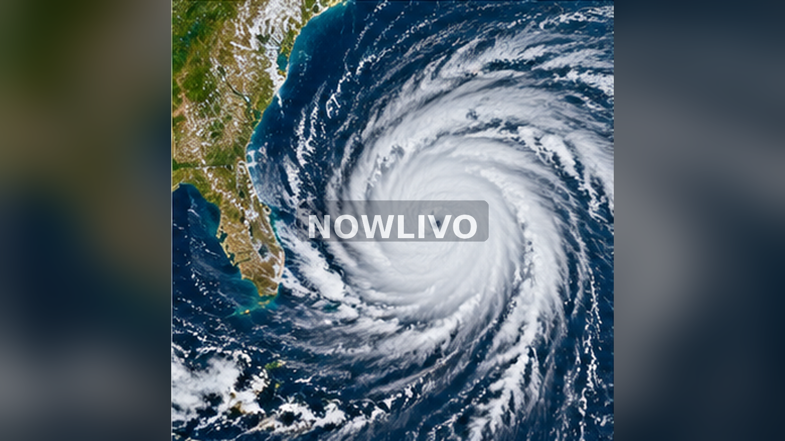
Hurricane Trudy remained offshore of western Mexico on October 18, 2026. At its 2 p.m. Mountain Standard Time advisory, the US National Hurricane Center placed the storm roughly 180 miles west-northwest of Manzanillo, with maximum sustained winds near 100 mph. It said Trudy was expected to weaken rapidly and reported that coastal warnings had been discontinued. That is a dated snapshot, not a permanent all-clear. Coastal residents and travellers should distinguish the current warning status from hazards that can continue even after a hurricane moves away.
What the 2 p.m. advisory says
The National Hurricane Center listed Trudy at 19.5 degrees north and 107.0 degrees west, moving northwest at about six mph, with maximum sustained winds around 100 mph. Its bulletin announced the discontinuation of all warnings for the Mexican coast and Islas Marías. Those are the figures from Advisory 22 on October 18, not live readings for every later hour. Hurricanes change intensity and direction, so a story about an advisory should always state when it was issued and send readers to the latest bulletin for operational decisions.
Why warnings can end while hazards persist
A warning is issued for a specified hazard, location and period. When officials withdraw it, that does not mean the sea instantly becomes calm, flooded roads immediately reopen or exposed slopes become stable. Residual surf, rough seas and local rain effects can remain after the strongest part of a storm has moved offshore. Residents should follow civil-protection notices and marine warnings, particularly if they live near estuaries or plan to travel by boat. Check conditions at the precise location rather than assuming the entire coastline has the same experience.
Understanding the location descriptions
The advisory’s distances describe the storm centre relative to landmarks such as Manzanillo and Cabo Corrientes. They do not describe the outer edge of every wind band or the reach of rough surf. A large cyclone can affect places well away from its centre. Conversely, a storm moving parallel to a coastline may spare some communities its strongest winds while still bringing hazardous coastal conditions. Maps are most useful when combined with official discussions explaining the storm’s size, motion and expected changes.
What the forecast of weakening means
The NHC said Trudy was expected to weaken rapidly later that night. That is a forecast, not a measured later outcome. Environmental factors such as wind shear, sea-surface temperature and the storm’s internal structure influence intensity. Forecast models contain uncertainty, especially as systems change. It is better to report the official expectation with its date than to turn it into a certain statement such as “Trudy has already disappeared.” Readers should look for the next advisory before planning exposed travel.
Practical travel checks
Anyone with a flight, ferry journey or coastal road trip should consult the actual airline, port authority, local road operator and civil-protection service. A warning cancellation does not automatically reverse a carrier’s operational decision. Allow flexibility for rearranged connections, damaged infrastructure or weather outside the storm’s core. Avoid relying on a viral photograph to judge whether a beach is safe for swimming. Waves and currents can be dangerous even under a partly clear sky.
A simple approach to family preparedness
Before storms, families benefit from knowing where they will receive official information, how to contact one another if mobile data fails and which medicines or documents need to remain accessible. Store important numbers offline. Keep phones charged and do not attempt to drive across moving floodwater. In coastal areas, local authorities may identify evacuation routes or temporary restrictions. Decisions should follow those local instructions, since an international hurricane summary cannot reflect conditions on every street or in every community.
How to read wind speeds responsibly
The sustained wind speed in a hurricane advisory is not the strongest gust someone may experience at a particular location. It is also not a prediction of wind at every point within the storm’s circulation. Distinguish maximum sustained winds, movement speed and distance from the coast. Trudy’s reported six-mph movement refers to how fast the system was travelling northwest, not to the wind blowing around its centre. Confusing those quantities can make an otherwise accurate weather report misleading.
Why this is news, not a search-rank claim
Trudy’s latest official advisory is a real October 18 development. However, the limited visible portion of the 24-hour US Google Trends feed does not independently establish a top-ranked Trudy search. The editorial justification here is the official weather event and the reader need for accurate hazard information, not an invented trend percentage. Responsible coverage also avoids recycling the day’s earlier 105-mph figure as though it were the most recent bulletin after the later 100-mph advisory became available.
Why marine conditions need their own checks
Large storm systems create long-period swells that travel away from the area of strongest winds. The coast can therefore look deceptively calm from a promenade while nearby surf breaks or entrances to harbours remain dangerous. A person planning a boat trip should consult the marine forecast, not only the general city forecast. Port restrictions can differ from beach warnings and may continue while crews inspect facilities. The NHC advisory helps explain the regional storm, while Mexican marine and civil-protection authorities provide the granular information that determines whether a specific service is operating.
How to assess photographs of damage
A photograph of a fallen tree, flooded road or damaged building can attract attention without proving it was caused by this storm or taken on October 18. Check whether the location can be identified and whether the photo is tied to a dated official assessment. Reused images from past hurricanes are common in fast-moving weather conversations. Avoid publishing a damage estimate or casualty number without a reliable authority confirming it. The most useful initial story is often the exact advisory status and a practical route to local warnings. Damage accounting can follow when the information becomes available.
Reader questions
What did NHC say about coastal warnings?
Advisory 22 said all remaining coastal warnings were discontinued.
Was Trudy still a hurricane at 2 p.m. MST?
Yes. NHC listed maximum sustained winds near 100 mph.
Does the end of a warning make ocean swimming safe?
Not automatically. Local surf, current and access guidance still matters.