
Tamil Nadu Heavy-Rain Warning October 18: What the IMD Forecast Actually Says
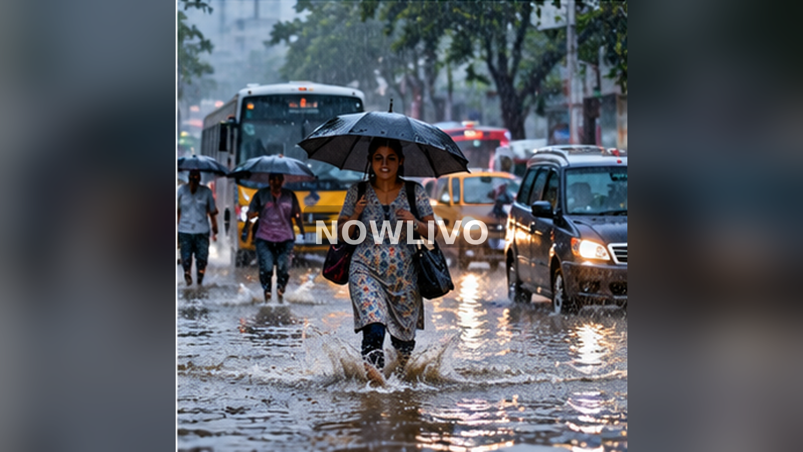
Tamil Nadu and Puducherry are under a period of elevated rain concern in the India Meteorological Department’s October 18, 2026 bulletin. The Chennai regional centre lists very heavy rain and thunderstorm-related hazards for several consecutive days, with heavy-rain wording continuing later in the week. A forecast is not a report that every locality has already flooded. Residents need the most recent district warning, an understanding of how to travel safely and a way to separate verified public information from recycled storm videos.
What the official warning page records
The IMD Chennai sub-division warning page shows an issue date of October 18. Its seven-day view lists “Very Heavy Rain” together with thunderstorm, lightning and squall-related hazards for the first several days, with “Heavy Rain” thereafter. This is an area-level warning. It is not a guarantee that every district will receive the maximum rainfall classification. For a personal journey or neighbourhood decision, the district-wise warning is more useful than the broad state-level headline.
The difference between a forecast and an observed flood
A forecast describes expected weather conditions based on current atmospheric information. An observed flood requires evidence about water levels, drainage, river conditions or affected streets. Search queries using the Tamil word for flood may rise because of concern, past footage or preventive preparations; search interest alone cannot confirm damage. Articles should identify whether a claim comes from an official warning, an actual incident report or an individual social-media video. Those sources answer different questions.
Why intense rain can overwhelm streets quickly
Urban surfaces such as roads and parking areas prevent rainwater from soaking naturally into soil. Drainage channels may already be full, blocked or affected by high downstream water levels. Short periods of intense rain can therefore produce dangerous puddles and flowing water even where the daily rain total seems modest. Neighbourhood terrain matters: underpasses, low railway crossings and roads beside open drains can be risky. A weather warning should prompt residents to identify those local trouble spots before leaving home.
A commuter’s decision process
Before commuting, check the IMD district bulletin and any current notices from city transport or traffic police. Then assess whether the journey is essential. If travel is necessary, use established routes and avoid low crossings that have a history of pooling. Do not ride or drive into water of uncertain depth; an apparently shallow section can conceal an open drain or a damaged road. If public transport is delayed, wait for an official update rather than following an improvised shortcut into an unfamiliar flooded lane.
Lightning and squalls matter as much as rain
Thunderstorm warnings cover hazards beyond water accumulation. Lightning makes open fields, exposed rooftops and isolated trees poor shelters. Sudden squalls can affect hoardings, lightweight structures and two-wheelers. A safe indoor location is preferable when thunder is nearby. During strong winds, keep clear of loose electrical cables and unstable branches. People following warnings often focus only on millimetres of rainfall and overlook the separate risks stated in the advisory.
How families can prepare without panic
Keep essential medicines, charging cables, important documents and a small source of light accessible. Move valuable items away from low floors if the property has a known history of water entry. Identify contact numbers for family and building management, and keep them available offline. Do not share unverified evacuation announcements or claim that schools are closed without confirmation from the relevant authority. Practical preparation lowers disruption; speculation increases it.
Interpreting the next seven days
An extended warning does not mean identical rainfall at the same place every day. Weather systems move, and the projected location of the heaviest rain can shift as observations are added. The text for Day 1 and Day 4 refers to different time windows. Readers should check when the bulletin was issued and whether a newer update supersedes it. This is especially important when a screenshot continues circulating after the situation has improved or worsened.
What a responsible local update should include
A useful update names the issuing agency, locality, issue time, hazard level and practical action. It should distinguish a general warning from district-specific school, transport or office instructions. If a road is reportedly closed, verify the responsible traffic or municipal agency before stating it as fact. The same principle applies to river releases and reservoir levels. Relevant location details create service journalism; repeating dramatic footage without time and place does not.
What rain-warning colour codes mean in practice
Weather services may present warnings through colours to help readers scan severity quickly, but colour alone should not replace the detailed description. An alert covering a broad area does not establish a precise rainfall total at your address. Read the geographic scope, expected period and hazard wording. A workplace may make its own operational decision, while district administrations issue school or public-service orders when necessary. Those decisions should be attributed to the competent authority. An unsigned poster forwarded through a messaging group is not adequate proof of a closure.
How to maintain a small household incident log
During a prolonged spell of bad weather, note when water starts collecting outside, whether drainage clears between showers and which official updates reach your locality. Photograph damage only when it is safe, and keep filenames or timestamps so later insurance or municipal reports have context. Do not approach exposed electrical installations or climb onto a roof during lightning. Share information with neighbours in a way that clearly separates your observations from government warnings. Such details can support practical responses without turning a forecasted possibility into a claim that damage has already happened.
Where to get updated travel instructions
The IMD issues meteorological warnings, while road closures, train cancellations and local relief notices come from other relevant agencies. A single weather graphic will not contain every operational detail. Check the railway operator for train status, the airport or airline for flight notices and district administration for local restrictions. If an alert arrives by forwarded screenshot, navigate to the issuing authority’s current webpage and confirm its date before adjusting plans. That extra minute can prevent avoidable confusion.
Reader questions
Is all of Tamil Nadu confirmed flooded?
No. The IMD bulletin is a weather warning, not evidence of flooding in every district.
Where should I look for my district?
Use the district-wise view at the IMD Chennai Regional Meteorological Centre.
Can the forecast change?
Yes. New warnings can revise timing, areas and severity.