
Heavy Rain Forecast Puts Andhra and Odisha Coasts on Alert as Cyclone Fears Grow
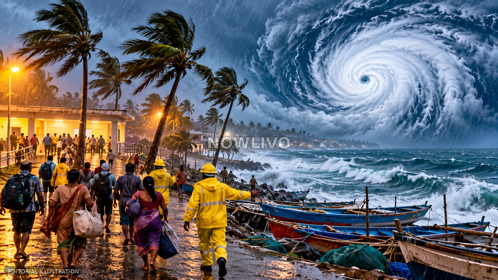
Heavy rain forecasts across parts of southern and eastern India have renewed attention on coastal weather risks, with reports warning of a potential cyclone threat near Andhra Pradesh and Odisha. The Indian Express reported that heavy rainfall was likely through October 27 across Tamil Nadu, coastal Andhra Pradesh, Yanam, Rayalaseema, Kerala and coastal Karnataka. The wording matters: a period of heavy rain and a developing weather system can create serious local hazards, but they are not the same as confirmation that a named cyclone has formed or will strike a specific location. Residents should follow the latest India Meteorological Department bulletins and local administration advisories rather than relying on viral forecasts or dramatic map graphics.
What the current warning says
The reporting points to a multi-day period of heavy rainfall across several southern and eastern regions, while cyclone concerns are focused on the Andhra Pradesh and Odisha coasts. Weather forecasts evolve as atmospheric observations are updated, so the current warning should be treated as a reason to stay informed rather than a guarantee of one exact path. A rainfall forecast can cover a broad region even when the most intense bands move through only part of it. Officials may revise timing, intensity and local risk levels as a system develops. Readers should check the issue time and validity period on any forecast, because an older warning may no longer reflect the latest track.
Rain, depression and cyclone are not interchangeable
Tropical weather systems can intensify through several stages, and the terminology used by meteorological agencies reflects observed wind speeds and structure. A forecast of heavy rain does not by itself confirm cyclone formation. Likewise, a low-pressure area or depression is not automatically a severe cyclone. News headlines can compress these distinctions, especially when uncertainty is high and public concern rises. Responsible updates should identify what the meteorological agency has actually classified, describe the current forecast area and explain where uncertainty remains. Without that distinction, readers may either underestimate a genuine local flood risk or believe that a severe storm has already been confirmed when it has not.
Why coastal communities face multiple hazards
Heavy rainfall can create trouble even without extreme wind. Low-lying settlements may face waterlogging and flash flooding, while rivers, drains and canals can rise quickly after repeated downpours. Fishing communities may also be affected by rough seas, reduced visibility and restrictions on going offshore. Strong winds can damage weak structures, bring down trees and disrupt electricity or mobile networks. Transport risks include flooded roads, delayed trains and unsafe crossings. The combination of heavy rain and coastal conditions is why local authorities may issue separate advisories for fishing, travel, schools or public events. Residents should pay attention to the specific instruction that applies to their location.
Practical preparation without panic
Households in areas under official warnings can take low-cost steps: keep phones charged, check medicines and essential documents, secure loose outdoor items, clear safe drainage channels where possible and identify a route to higher ground if local authorities advise evacuation. Families should agree on a way to contact one another if connectivity fails. People living near rivers, canals, beaches or steep slopes should not wait for floodwater to rise before following an evacuation order. It is also sensible to store drinking water and basic supplies, but panic buying can make essentials harder to obtain for neighbours. Preparedness should follow official risk guidance, not speculation on social media.
How to assess weather updates
A credible update identifies the issuing agency, time of publication, forecast window and area covered. It distinguishes an observed condition from a model projection and explains whether confidence is high or still changing. Posts that show a colourful storm track without a date, agency or explanation are not enough to make decisions. Forecast model paths often differ early in a system’s life, and a screenshot can circulate long after the underlying forecast has been updated. Residents should check official bulletins and state disaster-management channels for location-specific alerts, road closures and shelter information. A reliable forecast is valuable precisely because it can change as new evidence arrives.
Implications for transport and work
Periods of intense rain can affect daily routines well before a cyclone warning is issued. Commuters may face slower roads, standing water or service interruptions; farmers may need to protect equipment and monitor field drainage; businesses may have to adjust deliveries or outdoor work. Coastal ports and fishing operations may receive safety guidance based on sea conditions. Employers should communicate clear policies for travel during severe weather rather than expecting staff to take unnecessary risks. Schools and public agencies may announce local closures if conditions deteriorate. The practical impact is local and time-sensitive, which is why general headlines should be followed by district-level updates.
What authorities should communicate
The most useful public briefings make clear what is known, what remains uncertain and what residents should do now. If a system is still developing, officials can update the classification and likely impact as confidence improves. Consistent messages across meteorological agencies, police, disaster-response teams and local administrations help limit confusion. Alerts should be accessible in relevant local languages and include information for people who may need assistance evacuating. Public communication also needs to correct outdated messages circulating online. A clear advisory can prevent harm without overstating certainty; a dramatic but ambiguous warning can leave people unsure whether action is required.
What to watch through October 27
The immediate markers are the next official weather bulletin, any change in the system’s classification, expected rainfall distribution, sea-condition notices and district-level safety instructions. Residents should note the actual date and time printed on each advisory. If local authorities restrict fishing or recommend moving from vulnerable areas, those instructions take precedence over general commentary. Weather uncertainty is not a reason to ignore a warning; it is a reason to use official updates and prepare calmly. The evidence at this stage supports attention to heavy rain and coastal risks, while specific claims about a cyclone’s formation, path or landfall should wait for authoritative confirmation.