
Cyclone Murasu Nears Andhra Coast as Officials Begin Evacuations Ahead of Overnight Landfall
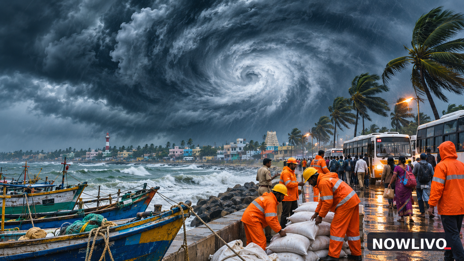
Cyclone Murasu moved closer to the Andhra Pradesh coast on Monday, November 2, as weather authorities narrowed the expected landfall window and officials began evacuating residents from vulnerable coastal areas. An India Meteorological Department bulletin issued at 1:03 pm placed the storm around 160 kilometres east-southeast of Nellore, with the system moving west-northwestward at about 22 kilometres an hour over the previous six hours. The latest forecast pointed to a crossing between Nellore and Narsapur, close to Ongole, around midnight or during the early hours of November 3.
The updated position and evacuation effort mark a concrete development from the previous day's general warning. Murasu is no longer simply a storm being watched offshore: coastal districts are preparing for a specific overnight period of dangerous weather. The IMD forecast winds of 100–110 kilometres an hour, with gusts up to 120 kilometres an hour, at landfall. These are forecast figures, not measurements of what has already happened on land.
New afternoon track and expected crossing
The Indian Express, citing the 1:03 pm IMD bulletin, reported the centre of the storm roughly 180 kilometres northeast of Chennai, 180 kilometres east-southeast of Kavali, 210 kilometres southeast of Ongole and 240 kilometres south of Machilipatnam. The agency's expected crossing window was approximately 11:30 pm on November 2 to 4 am on November 3. A shift in the storm's track or speed could change which communities experience the strongest conditions and when those conditions arrive.
The forecast therefore needs to be treated as a time-sensitive warning rather than a fixed promise that landfall will occur at an exact minute. Rain bands, rough seas and strong winds can affect coastal communities before the storm's centre crosses the shoreline. The greatest risk may not be confined to the single town closest to the forecast crossing point.
Evacuations begin along the coast
Reuters reported on Monday that about 2,000 people had already been evacuated and that the process was continuing. Prakhar Jain, managing director of the Andhra Pradesh State Disaster Management Authority, told the news agency that officials were planning to move around 30,000 people. The larger figure is a target for the evacuation effort, not a confirmed count of people already relocated.
Evacuations are especially important in low-lying coastal settlements, fishing communities and areas where access roads could become difficult during heavy rain. Moving people before the strongest winds arrive allows shelters, transport and medical support to operate with fewer immediate hazards. Officials may expand or adjust the operation as the IMD issues further bulletins and district authorities assess local conditions.
A second cyclone after Arnab
Murasu follows Cyclone Arnab, which struck the region last week. Reuters reported that Arnab killed six people and damaged houses and crops. The new cyclone was expected to be less intense, but that comparison should not be mistaken for an all-clear. A less powerful storm can still cause serious damage where homes, roads, electricity lines and farmland have not recovered from an earlier event.
The overlap also increases pressure on emergency services. Teams responding to the first storm may be needed again for shelter management, power restoration, clearing roads and checking vulnerable communities. Fishing activity and coastal transport can be disrupted even before landfall, and local administrations may issue additional restrictions as the situation changes.
What the wind forecast does and does not establish
The IMD's 100–110 km/h forecast describes expected sustained wind speeds at landfall, with stronger gusts possible. It does not establish a death toll, the extent of flooding or the number of homes that will be damaged. Those outcomes can only be reported after verified assessments. Heavy rain and rough seas can also be dangerous away from the point of maximum wind, making district-specific official warnings more useful than a single national headline.
The strongest practical guidance is to follow district administration and disaster-management notices, especially evacuation instructions. People in coastal areas should not travel to watch the sea or assume that a temporary lull means the danger has passed. Travellers should check transport operators for changes rather than relying on an older schedule.
The next critical update
The next meaningful developments will be the IMD's evening and overnight bulletins, any revised landfall timing and confirmed evacuation totals. Reports of damage or casualties should be held until authorities or reliable on-the-ground reporting can substantiate them. As of the afternoon update, the verified news was a storm approaching the coast, a specific high-wind forecast and an active evacuation effort—not a completed landfall.
For Andhra Pradesh and neighbouring Tamil Nadu, Monday evening is the period when preparation matters most. The forecast places Murasu close enough that authorities have moved from monitoring to action, while the precise local effects remain subject to the storm's final track.