New England Nor’easter Eases, but Taunton River Flooding Persists
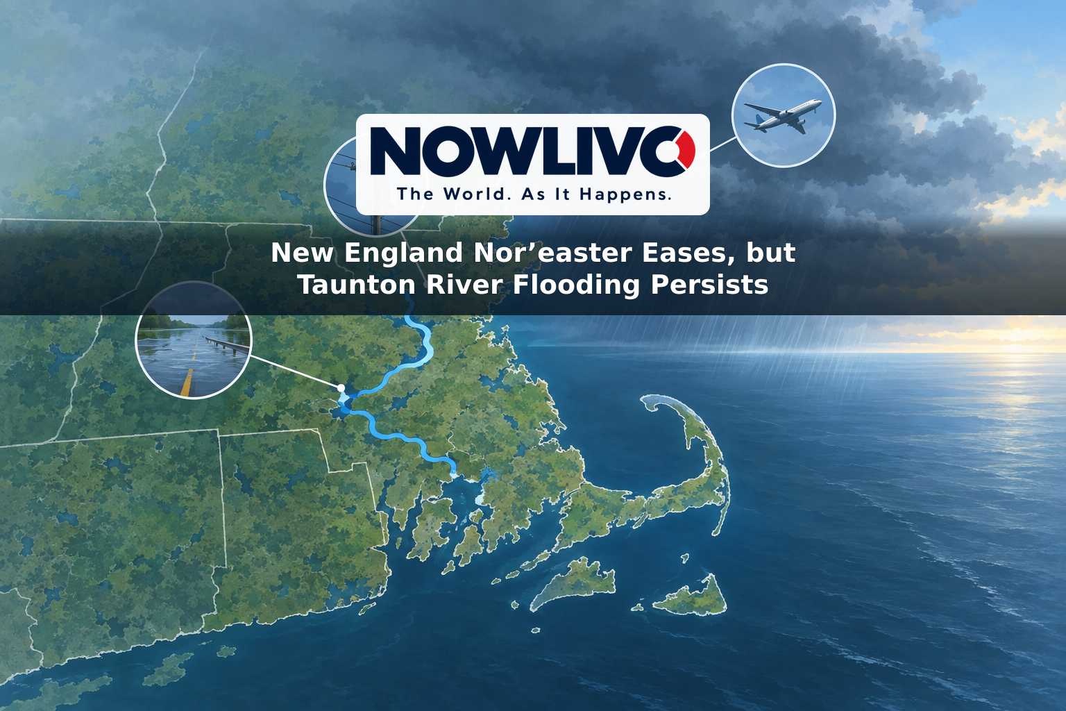
A slow-moving nor’easter is weakening after days of rain, wind and coastal flooding across southern New England. The immediate picture on Tuesday, September 29, is different from the weekend’s: reported road flooding, fallen trees, power outages and flight cancellations are confirmed impacts, while the main remaining flood concern is concentrated along the Taunton River in southeastern Massachusetts.

In an early Tuesday forecast, the National Weather Service said the storm was moving away and rainfall was diminishing. It canceled the broader flood watch for its southern New England forecast area because it did not expect the region’s flood risk to increase. That improvement does not mean every flooded location has recovered. A separate river flood warning remained in effect near Bridgewater, Massachusetts.
Flooding reached roads and low-lying areas
Flooding was not merely a forecast over the weekend. Weather Service storm reports recorded coastal water on Old Providence Road in Swansea, Massachusetts, and a flooded parking lot in Watch Hill, Rhode Island, on Saturday. In Boston, Morrissey Boulevard was reported flooded and closed. The service also logged cars stuck in street flooding in Acushnet and New Bedford, Massachusetts.
The locations illustrate two ways the storm affected travel: water pushed ashore during high tides, while heavy rain collected on streets. Conditions varied considerably from one community to another, so a flooded road in one town should not be taken as evidence that nearby routes are still closed Tuesday. Drivers should check current local road information rather than rely on weekend reports.
The Taunton River is the clearest continuing exception to the improving regional outlook. At 11:45 p.m. Monday, its level near Bridgewater was 9 feet, above the 8-foot flood stage, according to the Weather Service. An alert issued early Tuesday said minor flooding was occurring and forecast the river to fall below flood stage Tuesday evening. It warned that backwater flooding could affect lower Purchade Brook in Middleboro and make Woloski Park impassable to most vehicles for an extended period. That park impact is a warning about conditions at the reported river level, not confirmation that every approach is currently blocked.
Outages and travel disruption were real, but counts have changed
Strong winds brought down trees and wires across parts of Connecticut, Rhode Island and Massachusetts. Weather Service reports included a tree and wires down in Vernon, Connecticut; a tree and wires down in Pawtucket, Rhode Island; and trees on utility lines in several Massachusetts communities. Those reports document the storm’s effects but do not establish how many customers remain without electricity now.
Outage totals have already fallen from their weekend peak. Across the wider Northeast and mid-Atlantic—not New England alone—more than 100,000 customers were without power at times Sunday. A Massachusetts outage tracker showed about 2,200 customers without service shortly before 7 a.m. Monday. Neither figure is a live Tuesday count, and residents still without service should use their utility’s current restoration information.
The storm also disrupted air travel. More than 250 flights had been canceled at Boston Logan International Airport by late Sunday morning, according to the Massachusetts Port Authority. On the ground, flooding and fallen trees interfered with individual roads. Those are documented disruptions, not a prediction that the same flights or roads remain affected. Travelers with Tuesday plans should check their airline, airport or local transportation operator before leaving.
What the forecast says next
The Weather Service expected the weakening storm to move across Cape Cod and toward the Gulf of Maine on Tuesday. Its early forecast called for generally cloudy conditions in southern New England, with improving weather and some afternoon sun more likely in western areas. It expected less than half an inch of additional rain in most places from the time of its forecast. Some low clouds, fog and drizzle could still affect morning flying conditions before visibility improves.
Marine conditions may take longer to settle than winds on land. Small-craft advisories remained in effect Tuesday morning for some waters off eastern Massachusetts, even as advisories for Boston Harbor and Narragansett Bay had been canceled. Looking beyond the storm, the Weather Service expected a warmer, mainly dry stretch Wednesday through Friday.
For residents, the distinction is practical: widespread deterioration is no longer the forecast, but standing water and a swollen river can outlast the heaviest rain. Avoid barricaded or flooded roads, and check current alerts for the specific place you plan to visit.