Cyclone Murasu Makes Landfall in Andhra Pradesh as Heavy Rain Disrupts Coastal Districts
Storm crosses coast after days of warnings
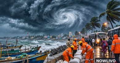
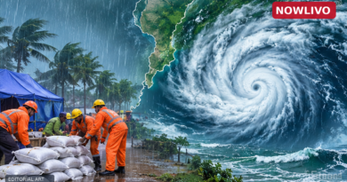
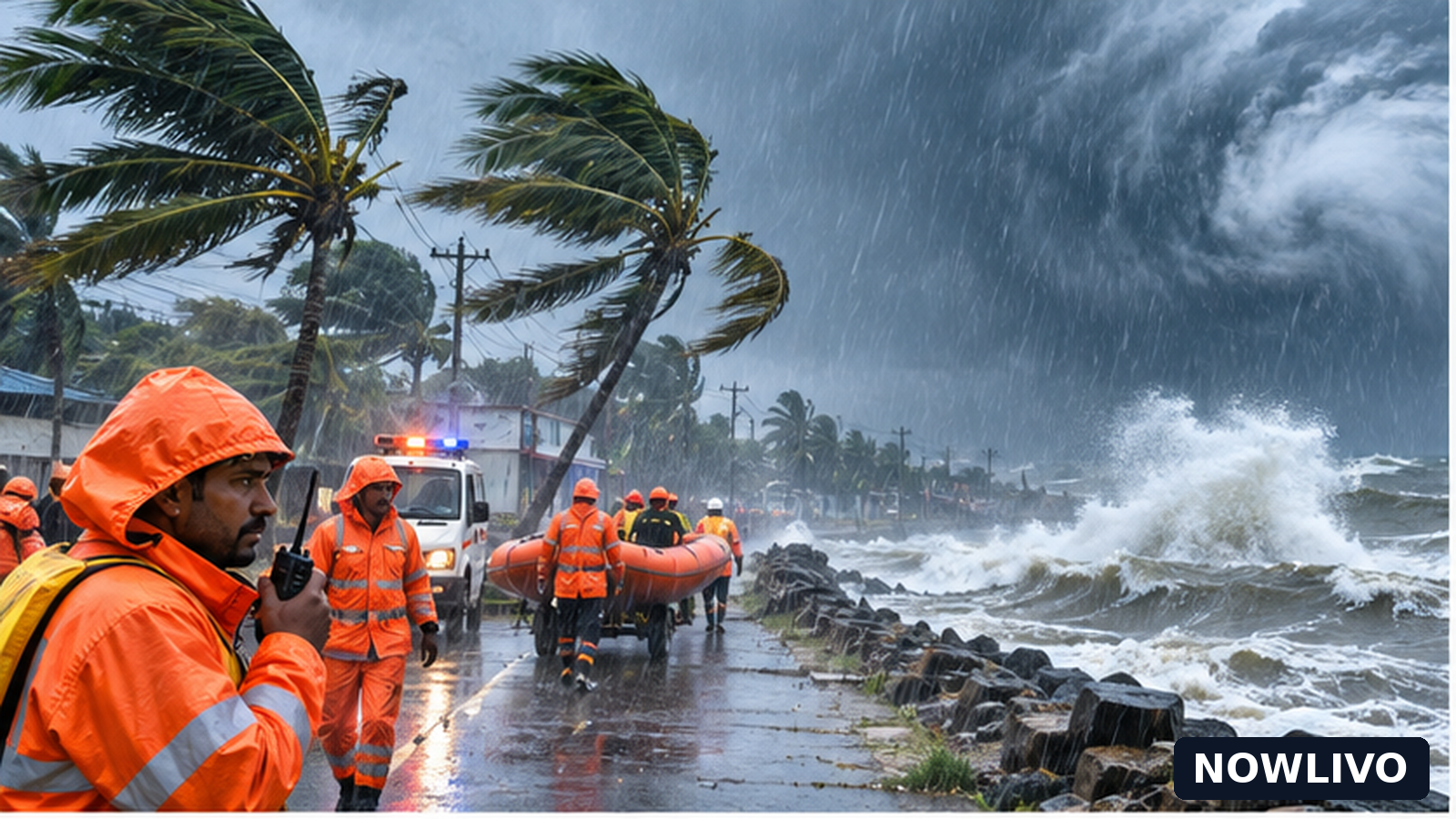
Severe Cyclonic Storm Murasu crossed the south Andhra Pradesh coast in the early hours of Tuesday, November 3, moving the story from a forecast emergency to an unfolding assessment of rain and disruption. The Economic Times, citing the India Meteorological Department, reported the crossing between Nellore and Narsapur near Ongole between 3:30 a.m. and 5:30 a.m. The report placed sustained winds at 100–110 kilometres per hour, with gusts reaching 120 kilometres per hour. Those figures describe the storm at landfall, not necessarily conditions experienced in every town along the coast.
What changed after the morning warnings
Until the crossing, attention was centred on school holidays, preparedness and the expected landfall window. The reported completion of landfall is a concrete new event. It also changes the questions residents need answered: which roads remain passable, whether electricity and telecommunications are functioning, and when local authorities will consider it safe to reopen schools and coastal facilities. Reports of waterlogging and traffic disruption in parts of Vijayawada illustrate why impacts can extend beyond the precise point where the storm crossed the shoreline.
Coastal districts face different risks
The coast near Ongole is the focus of the landfall account, but rainfall bands can affect places at some distance from a cyclone’s centre. The weather report also identifies Amaravati, Vijayawada, Nellore and Kakinada among locations for which residents are seeking updates. A warning for a broad region should not be read as proof that each city experienced the same wind speed or level of damage. Low-lying roads, drainage channels, river crossings and coastal settlements may face distinct risks depending on local rainfall and tidal conditions.
School closures are not a statewide order
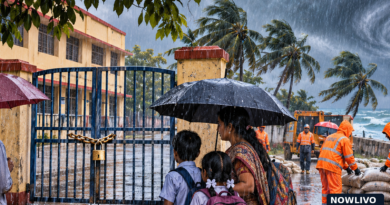
District-level school closures had already been reported in Nellore and Prakasam in Andhra Pradesh, with precautionary closures also announced in parts of Odisha. Those decisions were covered in NOWLIVO’s morning edition. They are background to this report, not a fresh blanket holiday announcement. Families should rely on notices from their own district administration or institution before assuming that a school or college will remain closed on Wednesday. A landfall announcement does not itself set a reopening date.
Why wind and rain figures need care
Meteorological wind speeds describe a measured or estimated storm intensity; they do not automatically translate into observed damage. Heavy rain can create local hazards even after peak winds ease, particularly where drains are blocked or waterways are swollen. Likewise, the absence of a confirmed casualty figure in the reports reviewed should not be turned into a claim that no one was harmed. Early information is often incomplete, and emergency assessments may take time.
Travel and public services after landfall
Commuters should check current road, rail and bus advisories rather than relying on yesterday’s forecast. Where water has accumulated, even a short journey can become hazardous. Coastal fishing activity and small-vessel movements warrant particular caution until the relevant maritime advisories are lifted. Power restoration, water supply and mobile connectivity can vary street by street; any broad claims about complete restoration would require confirmation from the responsible utilities.
The next stage of the story
The most consequential updates now will be verified district damage assessments, changes to rain alerts, confirmed transport cancellations or resumptions, school reopening orders and any official relief measures. These developments are more useful to readers than repeating the same storm trajectory. For the moment, the central confirmed development is the reported early-morning coastal crossing and the rain-related disruption described in contemporary coverage.
What residents can verify
For immediate decisions, local administration alerts and IMD bulletins are more useful than viral maps that may show an outdated forecast. Residents in flood-prone neighbourhoods should avoid moving through standing water whose depth or current is unknown. Emergency instructions should take priority over general travel plans. NOWLIVO will distinguish later official impact reports from estimates and social-media claims as information develops.
Why this matters beyond the headline
For residents, the most useful distinction is between a weather event confirmed by a meteorological agency and the many local consequences still being checked. A cyclone can produce uneven effects: one district may report blocked streets while another sees only intermittent showers. Social posts showing dramatic footage are not reliable evidence that a particular town has been hit unless their location and timing are established. Reports of evacuations, infrastructure damage and official compensation should be updated only when an identified authority confirms them. This approach keeps the story current without overstating the scale of the impact.