
Arctic Sea Ice Reaches 2026 Minimum, Tied for 10th Lowest in Satellite Record
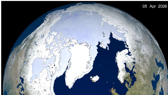
Arctic sea ice covered an estimated 4.6 million square kilometers (1.78 million square miles) at its annual minimum on September 12, NASA and the National Snow and Ice Data Center said. The 2026 figure ties the minimum recorded in 2008, 2010 and 2025 as the 10th lowest since continuous satellite observations began in 1978.

The seasonal low follows the usual spring and summer retreat of sea ice across the Arctic Ocean. NASA and NSIDC said the 20 lowest September minima in the satellite record have all occurred in the past 20 years, from 2007 through 2026. The ranking describes ice extent, the area of ocean with at least a threshold level of sea ice, rather than the total volume or thickness of the ice.
Year-to-year weather can make one melt season differ from another. NASA scientists said cloud cover in recent years has sometimes reduced the sunlight reaching the ice. That can moderate summer losses without restoring the Arctic to the higher extents seen earlier in the satellite record.
At the other pole, Antarctic sea ice is still approaching its seasonal maximum. Scientists expect to identify that peak after growth ends, usually in late September or early October. The two polar regions have different geography and weather patterns, so their seasonal measurements should not be treated as interchangeable.