
Cyclone Arnab Intensifies as Andhra Pradesh Evacuates 89,000 and Train Services Are Cancelled
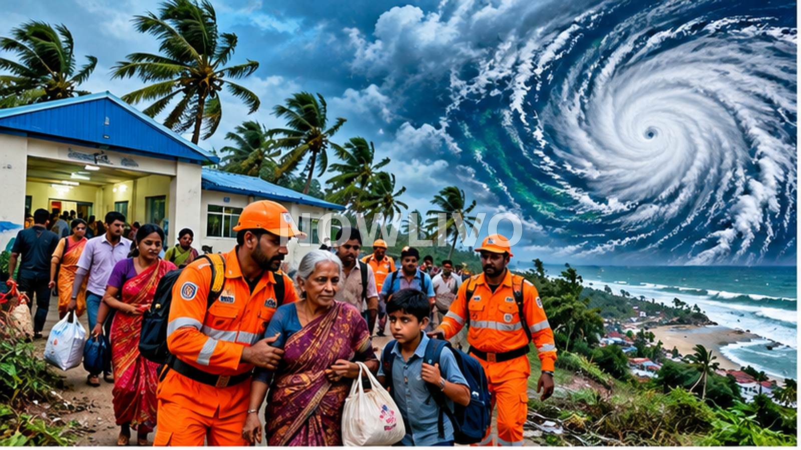
Cyclone Arnab moved into a more dangerous phase on Tuesday, October 27, prompting large-scale evacuations in Andhra Pradesh and disruptions to travel as the storm approached India's eastern coast. The Associated Press reported that at least 89,000 people had been moved from vulnerable coastal areas as the system strengthened into a very severe cyclonic storm. Officials were preparing for landfall on Wednesday morning, while neighboring Odisha also stepped up protective measures. The developments mark a significant change from Monday's warnings about a developing storm: people are now being relocated and transport services are being suspended.
The India Meteorological Department's forecast placed the immediate danger along Andhra Pradesh's coast, with extremely heavy rain, powerful winds and possible flooding. A Financial Express live report said the projected landfall corridor lay between Bapatla and Visakhapatnam, near Yanam, with sustained winds forecast at 115 to 125 kilometres per hour and gusts potentially reaching 140 kilometres per hour. Forecast tracks and intensity estimates can change as a storm approaches shore. Residents should therefore use the latest official bulletin rather than relying on an earlier map circulating on social media.
Evacuations are the clearest new development
According to AP, authorities had established more than 2,000 shelters across 20 districts and issued emergency alerts to millions of mobile phones. More than 30,000 fishing boats had been secured, and nearly 1,100 medical teams were deployed or readied to support emergency response. Those figures show the scale of the preparedness effort, not a prediction of how many people will be injured or how much damage will occur. Officials' immediate objective is to move residents away from exposed locations before strong winds, storm surge or flooded roads make evacuation more difficult.
Odisha was preparing to move approximately 48,000 people from areas considered vulnerable, AP reported. Although the storm's main landfall forecast concerned Andhra Pradesh, its rain bands and coastal effects were expected to extend beyond a single state boundary. Fishing restrictions, school closures and temporary suspension of some local activity are preventive measures. They should not be read as evidence that a particular town has already suffered damage. Conditions can differ sharply between neighboring districts depending on terrain, drainage and the cyclone's eventual track.
Rail cancellations and travel disruption
The Financial Express reported 53 train cancellations connected with the storm and noted an advisory from Air India. For travelers, this is one of the most immediate practical consequences of the developing weather emergency. A train that is running when a forecast is first issued may later be cancelled, diverted or delayed if conditions worsen. Flight schedules can also change quickly. Passengers should check their specific train number or booking reference through the operator's official channel before leaving for a station or airport.
A cancellation headline alone cannot establish that every service on a route is suspended. Different operators may apply different restrictions and update them at different times. Readers should also avoid treating social-media screenshots as definitive travel advice: a notice may be genuine but already superseded. People who must travel for medical or family reasons should build extra time into plans, keep essential medicines and documents accessible and follow local restrictions on road movement.
Why the intensity classification matters
A very severe cyclonic storm is more than a change in wording. It signals stronger expected winds and a greater potential for destructive conditions, particularly where homes, power lines, fishing infrastructure and low-lying roads are exposed. Yet the category does not by itself tell an individual household exactly what will happen. Local flood risk depends on rainfall, coastal shape, drainage, river levels and the storm's timing. This is why district-level evacuation instructions matter more to residents than the most dramatic national headline.
Authorities' emphasis on securing fishing boats is particularly important for coastal communities. Even if a storm's center remains offshore for several hours, rough seas and strong winds can endanger small vessels. Emergency teams also need clear roads to reach shelters and hospitals. People in areas under official evacuation orders should not delay departure merely to protect property or wait for visible signs of severe weather. The safest window to move can close before conditions appear dangerous from a doorstep.
What is known and what remains uncertain
As of the Tuesday reporting, the storm had intensified, substantial evacuations were under way and landfall was forecast for Wednesday. Final landfall location, peak local wind speeds and eventual damage were not yet known. Those details must not be inferred from model maps or treated as confirmed outcomes. Similarly, the number of people living in a projected impact zone is not the number expected to be harmed. AP estimated more than 12 million people lived along the projected path, underscoring the need for preparedness rather than establishing a casualty forecast.
The most useful next updates will be official changes to the track, district evacuation orders, railway and airline service notices, shelter availability and verified reports after landfall. NOWLIVO's earlier coverage addressed preparations and school closures. Tuesday's evacuation totals, stronger storm classification and specific transport cancellations constitute a material new stage of the same developing story. Until conditions improve, readers should prioritize instructions from local disaster-management authorities and the latest meteorological bulletin over viral imagery or unofficial predictions.