
Heavy Rain and Lightning Forecast Across Parts of India on September 27
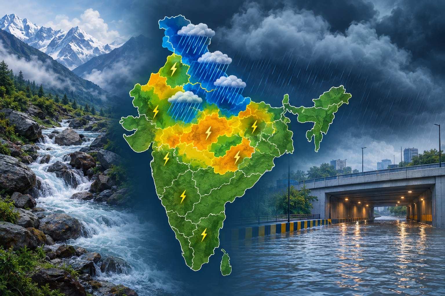
Heavy rain, thunderstorms and lightning are forecast across parts of northern and central India on Sunday, September 27, 2026, with the most intense rainfall expected in sections of the western Himalayan region and Uttar Pradesh.

India Meteorological Department warnings issued on September 26 place Uttarakhand under an extremely heavy rainfall forecast. Very heavy rain is forecast for Himachal Pradesh and western Uttar Pradesh, while heavy rain is expected in eastern Uttar Pradesh, Punjab, Haryana, Chandigarh, Delhi and parts of Madhya Pradesh. Many of these areas also have thunderstorm and lightning warnings.
These are broad subdivision-level forecasts, so rainfall will not be distributed evenly. One district may experience repeated intense showers while another nearby receives much less. Residents should therefore check district warnings and short-duration nowcasts before travelling or beginning outdoor work.
Where the main warnings apply
- Uttarakhand: Extremely heavy rainfall, thunderstorms and lightning are forecast. Steep terrain, narrow valleys, streams and roads beneath unstable slopes require particular caution.
- Himachal Pradesh: Very heavy rain with thunderstorms and lightning is expected. Travellers should reconsider unnecessary journeys on vulnerable mountain roads and avoid trekking during active weather.
- Western Uttar Pradesh: Very heavy rainfall and thunderstorms are forecast, creating the potential for rapid water accumulation in low-lying places.
- Eastern Uttar Pradesh: Heavy rain, thunderstorms and lightning remain possible.
- Punjab, Haryana, Chandigarh and Delhi: Heavy rain and thunderstorms may produce local waterlogging, poor visibility and travel disruption.
- East and west Madhya Pradesh: Heavy rainfall accompanied by thunderstorms and lightning is forecast in the wider region.
- East Rajasthan and Jharkhand: Thunderstorms and lightning are the main identified hazards, although an intense storm can still deliver a short burst of heavy rain.
- Coastal Andhra Pradesh: Thunderstorms, lightning and strong surface winds are forecast.
- Andaman and Nicobar Islands: Thunderstorms and lightning are expected, with local conditions requiring close monitoring.
Why flash flooding can develop quickly
Flash flooding is most likely when intense rain falls repeatedly over a small catchment, saturated ground, a steep slope or an urban area with limited drainage. The risk is not determined by a state-wide rainfall label alone. Recent rainfall, local terrain, drain capacity and the precise path of thunderstorms all matter.
In Uttarakhand and Himachal Pradesh, rapidly rising streams, overflowing drains, falling rocks and slope failures are possible in vulnerable locations during intense rain. In cities and plains, underpasses, basement approaches and roads beside open drains can flood before rainfall appears exceptional across the wider area.
A weather warning signals a need to prepare; it does not mean that every listed location will flood. Conversely, a neighbourhood can face dangerous water accumulation from a highly localised downpour even when surrounding areas remain relatively dry.
Practical safety steps
- Do not walk, cycle or drive through a flooded road. Water may be deeper or faster than it appears, and the road surface may have failed underneath.
- Avoid underpasses, drainage channels, riverbanks, waterfalls and low-water crossings during heavy rain.
- In hill areas, postpone trekking and non-essential travel near steep slopes. Watch for falling stones, fresh cracks, muddy runoff or sudden changes in stream flow.
- When thunder is audible, move into a substantial building or an enclosed hard-top vehicle. Open shelters do not provide reliable lightning protection.
- Stay away from isolated trees, poles, metal fencing, rooftops, open fields and water. People working outdoors should stop and seek proper shelter promptly.
- Keep phones charged and place medicines, documents, drinking water and a torch where they can be reached quickly.
- Follow evacuation, traffic and road-closure instructions from district administrations, police and disaster-management authorities.
Check again before leaving
Thunderstorm forecasts can change as radar and satellite observations reveal where individual storm cells are developing. Anyone travelling on September 27 should review the latest district warning and nowcast shortly before departure rather than relying only on a forecast seen the previous evening.
People in flood-prone neighbourhoods should move vehicles and essential items away from known waterlogging points in advance. The safest approach is to treat rapidly rising water, repeated lightning and official road restrictions as immediate reasons to stop and move to a safer location.