Study Finds Nearly 300 Western US Glaciers Have Vanished Since 1960s
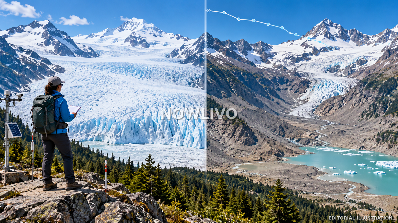
A new study finds that nearly 300 glaciers have disappeared across the western United States since the 1960s, as rising temperatures have steadily reduced the region’s mountain ice. Researchers described a marked decline from the more than 1,450 glaciers documented around the middle of the last century, warning that almost all of those that remain are likely to shrink substantially if warming continues. Glaciers are not only dramatic features of mountain landscapes: they release water seasonally, support cold-water ecosystems and help shape streamflow. Their loss can therefore affect downstream communities as well as alpine environments. The regional estimate does not mean every watershed will experience the same impact, and the most useful forecasts require local hydrological data.
How much ice has disappeared
The reported study compares the distribution of glaciers across western mountain ranges over several decades. It estimates that about 300 have vanished since the 1960s, while the number recorded around the middle of the twentieth century exceeded 1,450. Counting glaciers is technically demanding because researchers must distinguish moving bodies of ice from permanent snowfields and other frozen features that may look similar in photographs. A consistent inventory is necessary if scientists want to compare change over time rather than differences in how individual observers label ice.
A sound comparison depends on using documented criteria for what constitutes a glacier and how disappearance is recorded. New mapping technologies can reveal features that earlier surveys missed, so researchers need to account for changes in observation methods as well as physical change. The reported decline points to a substantial regional loss rather than an isolated retreat at one famous mountain. The count is a summary of an extensive landscape process that can vary significantly from one range to another.
Why glaciers are retreating
Glaciers form when snowfall accumulates over many years and compresses into ice that moves under gravity. They grow when accumulation exceeds losses and shrink when melting and other forms of ice loss outpace new snow. Rising temperatures can extend the melt season, increase the amount of ice lost in warm periods and reduce the share of precipitation that remains as snow. The balance can shift over time even in places where individual winters still bring heavy snowfall.
Weather continues to vary from year to year, and an individual glacier may briefly gain mass after a snowy season. The long-term regional pattern, however, reflects a persistent imbalance between accumulation and loss. A glacier that becomes too small may lose the conditions that sustain it, eventually breaking into disconnected remnants or disappearing from the landscape. The study links the regional decline to warming trends, while the exact pace of retreat for each remaining glacier depends on elevation, snowfall, shading and local climate.
Water supply and seasonal flow
Mountain glaciers store water as ice and release some of it as they melt. In certain watersheds, that melt contributes to streams during warm or dry periods when precipitation is limited. As glaciers shrink, the timing and volume of runoff can change. The effect differs by basin: some communities depend more on snowpack and rainfall than on glacier melt, while others may be more sensitive to the loss of ice at particular elevations.
Glacier disappearance does not mean a river instantly runs dry. It changes one part of a broader water system that includes snow, rain, reservoirs, groundwater and seasonal demand. Long-range planning requires hydrological models that separate those influences and examine how water availability may change under different warming scenarios. Local water managers need to know whether glacier loss will alter late-summer flows, affect supply reliability or change the timing of runoff during periods of high demand.
Ecosystems in a changing mountain landscape
Cold, glacier-fed streams can provide distinctive habitats for aquatic organisms and influence downstream water temperatures. As ice retreats, streams may become warmer or more variable, while newly exposed ground can change sediment transport and slope stability. Plants and animals respond at different speeds, so an altered glacier system can ripple through a mountain watershed rather than affecting only the ice. The environmental effect depends on local terrain, stream characteristics and the species living in the area.
Some newly exposed terrain can develop vegetation over time, while other locations may experience unstable slopes, pulses of sediment or reduced cold-water habitat. Monitoring stream temperature, seasonal flow, sediment and species distribution helps reveal how changes are affecting ecosystems. A glacier count is an important first measure, but it does not describe every biological consequence. Further field research can show which locations face the greatest ecological change and which systems are adapting in ways that warrant continued observation.
The difference between glacier loss and yearly snowpack
Glacier inventories track long-lived masses of ice that flow under gravity; seasonal snowpack is a different measure. Snowpack can fluctuate sharply between winters, while a glacier integrates weather conditions across many years. A low-snow winter may worsen water shortages, but one poor season does not establish that a glacier has vanished. Conversely, a snowy winter does not reverse decades of mass loss. Keeping those measures separate helps avoid confusing short-term weather with a long-term climate trend.
Public debate sometimes blends snow, ice and water supply into one concept. Researchers treat them separately because each has different dynamics and uses in planning. The study’s reported count concerns glaciers disappearing from the western United States, not a claim that all mountain snow or all frozen water is disappearing at the same rate. Water managers need both short-term snowpack forecasts and long-term glacier assessments to understand supply, especially where seasonal melt plays an important role.
What happens next
Scientists will continue to update glacier inventories and measure how retreat affects streamflow and mountain environments. Water agencies can use the findings alongside snowpack and precipitation data to improve projections, while park managers and local communities can adapt monitoring and access plans as landscapes change. A new estimate is a regional indicator of a long-term trend, not a forecast that every western watershed will experience the same water outcome.
The practical next step is more detailed local assessment: which ice bodies are disappearing, what role they play in their watershed and how communities can prepare for changes in seasonal supply. Continued research can connect the glacier count to stream gauges, water-temperature records and ecological surveys. Those data will help determine how retreat affects particular regions and which adaptations are most useful as the climate continues to warm.