
India Backs GalaxEye’s Next-Generation OptoSAR Satellite With ₹63.84 Crore
India’s Technology Development Board has signed an agreement to provide ₹63.84 crore in financial support to Bengaluru-based GalaxEye Space Solutions for a next-generation multisensor Earth-observation satellite.

Announced on September 24, 2026, the support comes through the central government’s Research, Development and Innovation Fund. The wider project has an approved cost of ₹247.69 crore, meaning the government-backed financing represents roughly a quarter of its planned expenditure.
The agreement is an important endorsement of privately developed space technology, but it should not be confused with the delivery of a fully operational system. GalaxEye must still complete the engineering, testing and validation needed to demonstrate the proposed performance.
What GalaxEye plans to build
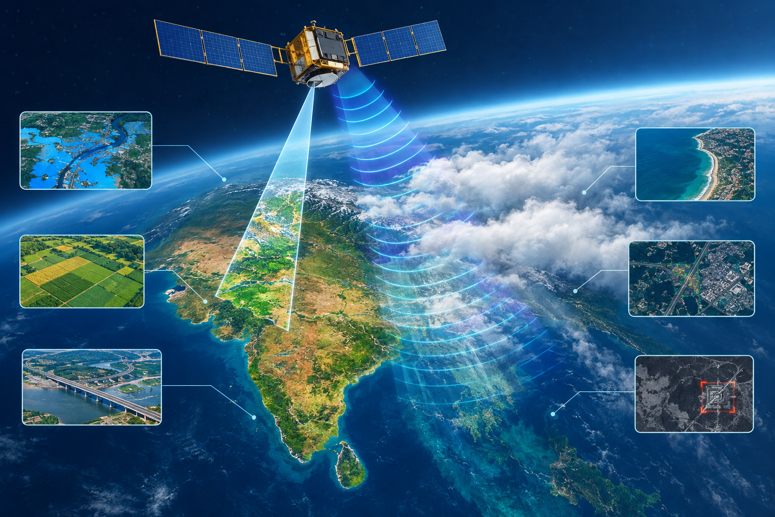
The project centres on an indigenous technology called OptoSAR, which combines synthetic aperture radar, or SAR, with electro-optical imaging on a multisensor satellite.
Optical cameras produce visually intuitive images and can record spectral information useful for studying vegetation, water and built infrastructure. Their effectiveness, however, can be reduced by darkness, cloud cover, smoke and adverse weather.
SAR uses radar signals rather than reflected sunlight. It can collect data at night and through clouds, while also revealing information about surface structure, roughness and moisture. Radar images are less immediately intuitive than conventional photographs, making fusion with optical data potentially valuable for analysts and automated systems.
By carrying both types of sensors and combining their data, the proposed satellite is intended to produce a more consistent picture of an area across varying weather and lighting conditions. Co-locating the sensors could also reduce the spatial and timing differences that arise when radar and optical images are collected by separate spacecraft.
The project targets OptoSAR imagery with a resolution finer than 0.5 metres. At that level, analysts may be able to distinguish relatively small objects and changes in infrastructure, although resolution alone does not guarantee accurate identification or classification.
Earth observation and climate applications
A successful system could serve commercial and public-sector users that need frequent, detailed observations of the ground. Potential uses include mapping urban expansion, monitoring roads and industrial sites, assessing crops, tracking changes in forests and coastlines, and examining water bodies or natural-resource areas.
For climate and environmental monitoring, fused radar and optical information could help measure flood extent, observe changes in vegetation, identify land-use shifts and monitor vulnerable coastal zones. Radar is particularly useful during monsoon conditions, when persistent clouds may prevent optical satellites from obtaining clear images.
The technology could also support longer-term analysis of erosion, wetland change, deforestation and infrastructure exposed to extreme weather. Effective climate services would still depend on repeated observations, reliable calibration and the ability to compare data consistently over time.
Defense and disaster response
The government says the proposed capability is intended for wide-area and long-range surveillance, along with detecting people and vehicles and classifying targets. In practice, this could support border observation, maritime awareness, monitoring of strategic infrastructure and change detection around sensitive locations.
Such applications require more than a sharp image. Useful operational intelligence also depends on revisit frequency, tasking speed, secure communications, processing capacity and trained analysis. Detecting an object in satellite imagery does not necessarily establish its identity or intent.
During floods, cyclones, landslides, wildfires or earthquakes, all-weather imaging could help authorities map affected areas when clouds or smoke block a normal camera. Fused products may make radar observations easier to interpret, potentially assisting route planning, damage assessment and the prioritisation of relief resources.
Rapid disaster response would nevertheless require timely access to the satellite, fast data downlinks and integration with emergency-management systems on the ground.
How the RDI financing works
The ₹63.84 crore support is to be provided through optionally convertible debentures rather than described simply as a grant. This is a financing instrument that begins as debt and may convert into equity under agreed conditions. Detailed disbursement and conversion terms were not included in the announcement.
The objective is to move the technology from Technology Readiness Level 6 to Level 9. Broadly, that means progressing from a prototype demonstrated in a relevant environment to a completed system proven through operational use.
This reflects the purpose of India’s ₹1 lakh crore RDI programme: supplying patient capital for expensive, high-risk technologies that conventional lenders or investors may be reluctant to finance before commercial deployment.
Part of India’s private-space strategy
India’s space reforms seek to expand private participation across satellite manufacturing, operations, data services and downstream applications while allowing public institutions to focus more heavily on advanced research and national missions.
The GalaxEye agreement fits that model by placing development responsibility with a private company while the state shares part of the financial risk. If the project meets its technical and commercial objectives, it could strengthen domestic Earth-observation capacity and create Indian-controlled data products for government and international customers.
For now, the agreement represents funded development rather than proof of the promised sub-0.5-metre performance. Its significance will ultimately depend on whether GalaxEye can convert the support into validated hardware, dependable imagery and services that work at operational scale.